The problem with the cone (and why it matters)
For years, people have treated the cone like a danger zone. If you’re outside it, you’re safe. If you’re inside it, you’re not. But that’s never been an accurate representation.
The problem is that the cone only tracks where the center of the storm is likely to move — not the full impact zone. Hurricane effects like dangerous winds, flooding, and storm surge often fall far outside those lines.
That misunderstanding can have real consequences, leading people to underestimate their risk, delay evacuations, or skip hurricane prep altogether because they think they're outside the danger zone. The updated map is an attempt to make the full scope of a hurricane's impact clearer (not just focusing on the center of the storm).
Why this update comes at the right time
If this seems like a small tweak, it’s not. It’s happening as concern around natural disasters continues to climb.
According to SafeWise’s latest State of Safety research, natural disaster anxiety is at an all-time high across nearly every category, including hurricanes and flooding.
At the same time:
- Nearly 1 in 10 Americans experienced an evacuation due to a natural disaster in 2025
- Hurricanes remain a top concern — especially in the South
- And overall disaster concern has steadily increased year over year
In other words, people are paying attention — but not always getting the right signals.
The importance of tracking storms outside the cone
Americans may be tracking hurricanes, but they’re more worried about what hurricanes do than where they go.
State of Safety data shows 53% of people are concerned about strong winds and 40% about flooding, compared to just 29% who say they’re worried about hurricanes themselves .
That gap highlights the same issue the National Hurricane Center is trying to fix: storm impacts reach far beyond the projected path of the storm’s center.
Winds and flooding are top hurricane concerns
Americans are about 83% more concerned about strong winds and 38% more worried about flooding than they are about hurricanes alone.
A clearer map means better (and safer) decisions
This update isn’t just about design — it’s about behavior. When people better understand risk, they’re more likely to:
- Take evacuation orders seriously
- Prep earlier (instead of waiting for certainty)
- Protect their homes before it’s too late
That lines up with what we’ve seen in our own research: people take action when risk feels real and personal.
The problem is, confusing visuals can make risk feel distant — even when it’s not.
What this means for homeowners
If you live in a hurricane-prone area, this change is a good reminder to be proactive when it comes to hurricane safety.
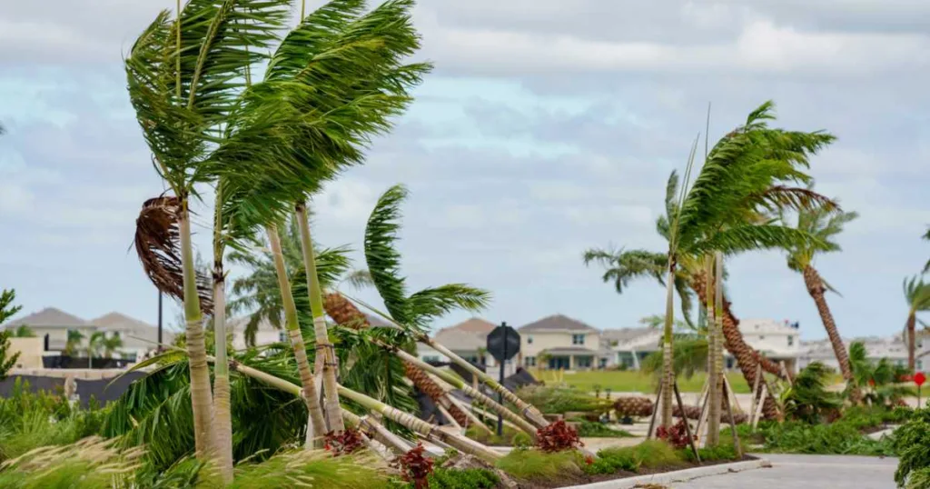
Even if you’re outside the cone, you could still see:
- Flooding from heavy rain
- Power outages from wind damage
- Dangerous storm surge
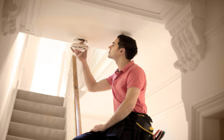
That’s why hurricane prep should go beyond tracking maps. In our hurricane safety guides, we recommend focusing on what you can control:
- Reinforce your doors, windows, and roofing
- Secure outdoor items (like toys, tools, and lawn furniture) before storms hit
- Have backup power (generator or solar power banks) and emergency supplies ready
- Review your insurance coverage before peak storm season
Because when a storm shifts (and they often do), last-minute prep isn’t enough.
The bigger picture: how Americans approach safety
One of the most interesting trends from this year’s State of Safety data is a bit of a paradox:
- Overall safety concerns remain high
- But fewer people are increasing their safety measures compared to last year
What does that mean?
For many households, safety planning is becoming more reactive than proactive. And that’s exactly where clearer communication — like this updated hurricane map — can make a difference. When people understand risk sooner, they’re more likely to act sooner.